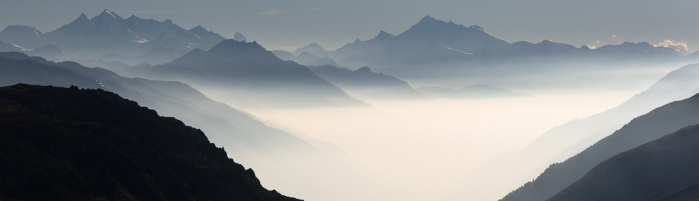
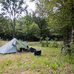
Today was a rainy day again. And I ended on an abandoned camping site.
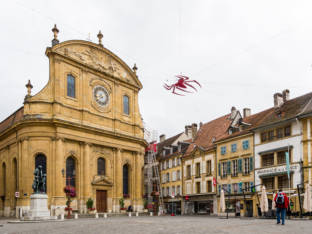 First town I passed was Yverdon-les-Bains, a nice old town, at least in the center. Then I saw, the cycle route 5 was reworked. Last time, the route followed the motorway directly and was rather loud, That improved now.
 Near Mormnot, I switched from route 5 to route 50. There rain became heavier. So all the way until Geneva I hardly could see the Lake. Leaving Geneva I looked for a campsite and found one on the map (OSM base) near . I arrived rather late, so I had to take this one. As I arrived I found it empty. It must have been closed years ago. I pitched my tent and after my meal a frog jumped on my leg.
Today the distance was 154 Km.
Map of the route “To Clarafond”: 151,601 m, 1,931 m of climbing and 1,839 m of descent, elevation between 363 m and 887 m, time 12:52:19. It starts at 46.80370, 6.71706 and ends at 46.06033, 5.86359 (latitude, longitude).
