On the night there was a lot of rain again, buy it stopped in the morning, In France the 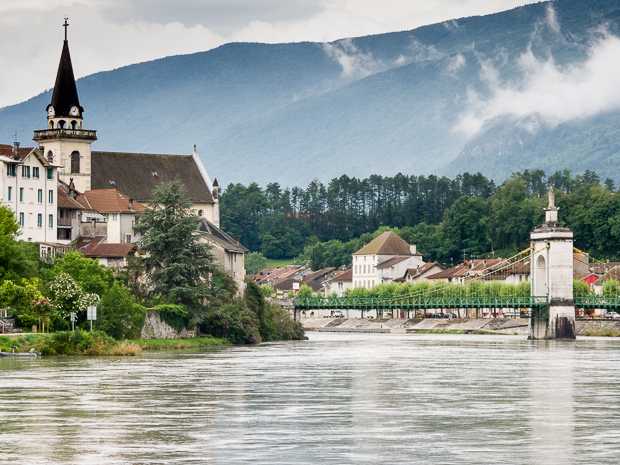 long distance cycle patches are called voies vertes and followed the path along the Rhône valley. The quality is similar to the Swiss cycle network, so partly dedicated cycle patches and bridges are used; further small, tertiary roads. Only in some exceptions main roads are unavoidable, e.g. if in a narrow valley there is no place for separate cycle paths. In those cases a cycle track is marked on the road.
At the first Lavatoire I refilled my water bottles. At Virignin I shopped for my lunch, bought a baguette, just to have something else after my muesli days.
In Saint-Genix-sur-Guiers I left the Rhone valley and had to climb over 300 km, including two very steep parts. This was not anymore a voie verte, so not always as comfortable to cycle on. My Komoot route guided me via a very steep ascent, that I only could master at a very slow speed and after looking more intensively on the map, there was a better alternative just some 100 m longer.
From Voiron I could see my destination of the day highlighted by some Sun rays: Grenoble. But that was a wrong promise, on the dike path along the river Isère there was a light rain coming down. This night no camping, but visiting a friend.
Today: 134 km
