To Villeneuve lez Avignon

In the morning the sun shone and I was able to pack a dry tent instead of a heavy wet tent.
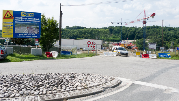
After I passed some road works I was on the Isère cycle path again just near the junction with the ViaRhona as the Rhône cycle path is called. I missed a sign for the cycle path near kiosque Peynet, probably because that building attracted my view. It happens frequently,  one doesn’t see a sign and then one is lost without a map, that shows the path.
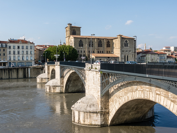
I choosed to try the official Viarhona and had to change to the other side of the Rhône. That took some extra meters, because the bridge at Valence sud points to north. At Charmes sur Rhône I changed the bank again and used the Komoot route again, because the Viarhona was not visible anymore. My lunch break was at Ancone in a park.TransFrance_201407256018
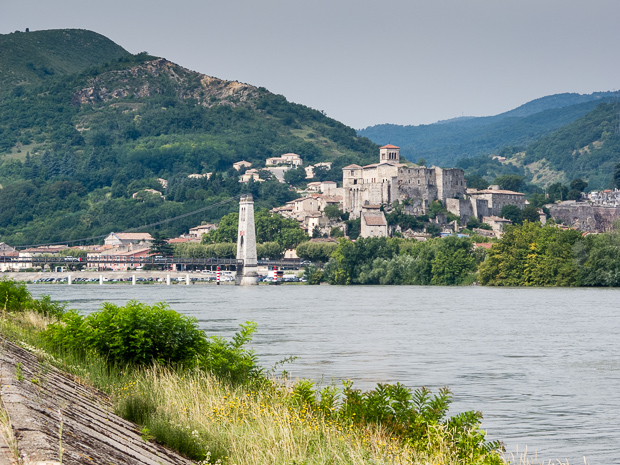
It started to rain again after Montélimar and stopped as I arrived on the camping site. Near Venejan Komoot brought me to a secondary road with more traffic, this improved in Caderousse. I passed Phenix the French fast breeder reactor. Photography is forbidden. No problem for me, because that are ugly buildings
Today’s distance: 169 km


Grenoble – Valence

After one rest day near Grenoble, I continued the cycle tour today. I started rather late, about 1 pm. The cycle path follows the river Isère and this is a voie Verte again, though in the middle part there are no signs, so I had to trust my route. Due to reconstruction worksBridge closed for all traffic of a bridge, i had to take a short deviation. The French government has built multiple large bridges just for cyclists and pedestrians. It seems not many people know about this bicycle network, because it was sparely used, if I compare it to the Inn cycle path in Germany. I had nice weather, sun and it was rather warm,so a bar of chocolate melted down in my pannier.
Pont vieux and Collégiale Saint BernardToday I cycled 103 km and found a camp site just near Valence and everywhere I hear my language Dutch, even the music in the bar.
One guy from Germany is here and he makes a similar cycle tour.


To Grenoble

On the night there was a lot of rain again, buy it stopped in the morning, In France the Seyssel, Bridge over the Rhonelong distance cycle patches are called voies vertes and followed the path along the Rhône valley. The quality is similar to the Swiss cycle network, so partly dedicated cycle patches and bridges are used; further small, tertiary roads. Only in some exceptions main roads are unavoidable,  e.g. if in a narrow valley there is no place for separate cycle paths. In those cases a cycle track is marked on the road.
At the first Lavatoire I refilled my water bottles. At Virignin I shopped for my lunch, bought a baguette, just to have something else after my muesli days.
In Saint-Genix-sur-Guiers I left the Rhone valley and had to climb over 300 km, including two very steep parts. This was not anymore a voie verte, so not always as comfortable to cycle on. My Komoot route guided me via a very steep ascent, that I only could master at a very slow speed and after looking more intensively on the map, there was a better alternative just some 100 m longer.
From Voiron I could see my destination of the day highlighted by some Sun rays:  Grenoble. But that was a wrong promise, on the dike path along the river Isère there was a light rain coming down. This night no camping, but visiting a friend.

Today: 134 km